Expertise en Exploration Minière
Accompagnement stratégique pour vos projets miniers et géologiques.
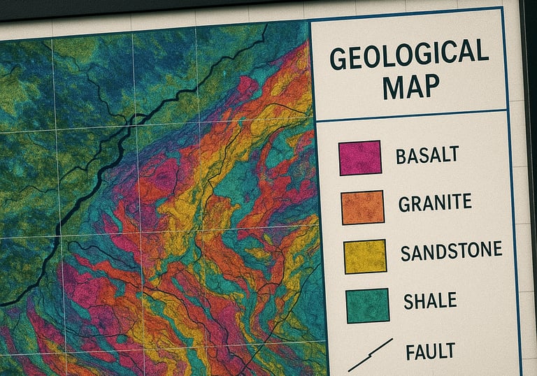
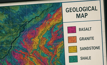
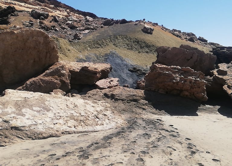
Études géologiques
Cartographie de terrain
Télédétection et analyse d’images satellitaires haute résolution
Modélisation SIG et 3D
Prospection géophysique
Études d'impact sur l'environnement
Études de Réhabilitation
Suivie Environnemental
Echantillonnage
Intermédiation minière
Nous mettons en relation propriétaires de titres miniers (permis de recherche, permis d’exploitation) avec des investisseurs, acheteurs ou partenaires industriels.
Évaluation technique et juridique des concessions/permis
Constitution de dossiers de vente ou d'acquisition
Mise en réseau avec des acheteurs sérieux et solvables
Confidentialité, Transparence et Rigueur sont au cœur de notre démarche.
Votre partenaire en exploration minière
Al Mokhtabar Sarl, bureau d’études spécialisé en exploration minière, télédétection et géophysique, accompagne ses clients dans la valorisation des ressources naturelles et l’achat-vente de concessions minières.


Notre expertise à votre service
Solutions sur mesure
Nous offrons des études géologiques, analyse d’images satellitaires, prospection géophysique, modélisation 3D, études d'impact environnemental et conseils stratégiques pour optimiser vos projets miniers.
Nos Services
Expertise en exploration minière et géologique pour valoriser vos ressources naturelles.
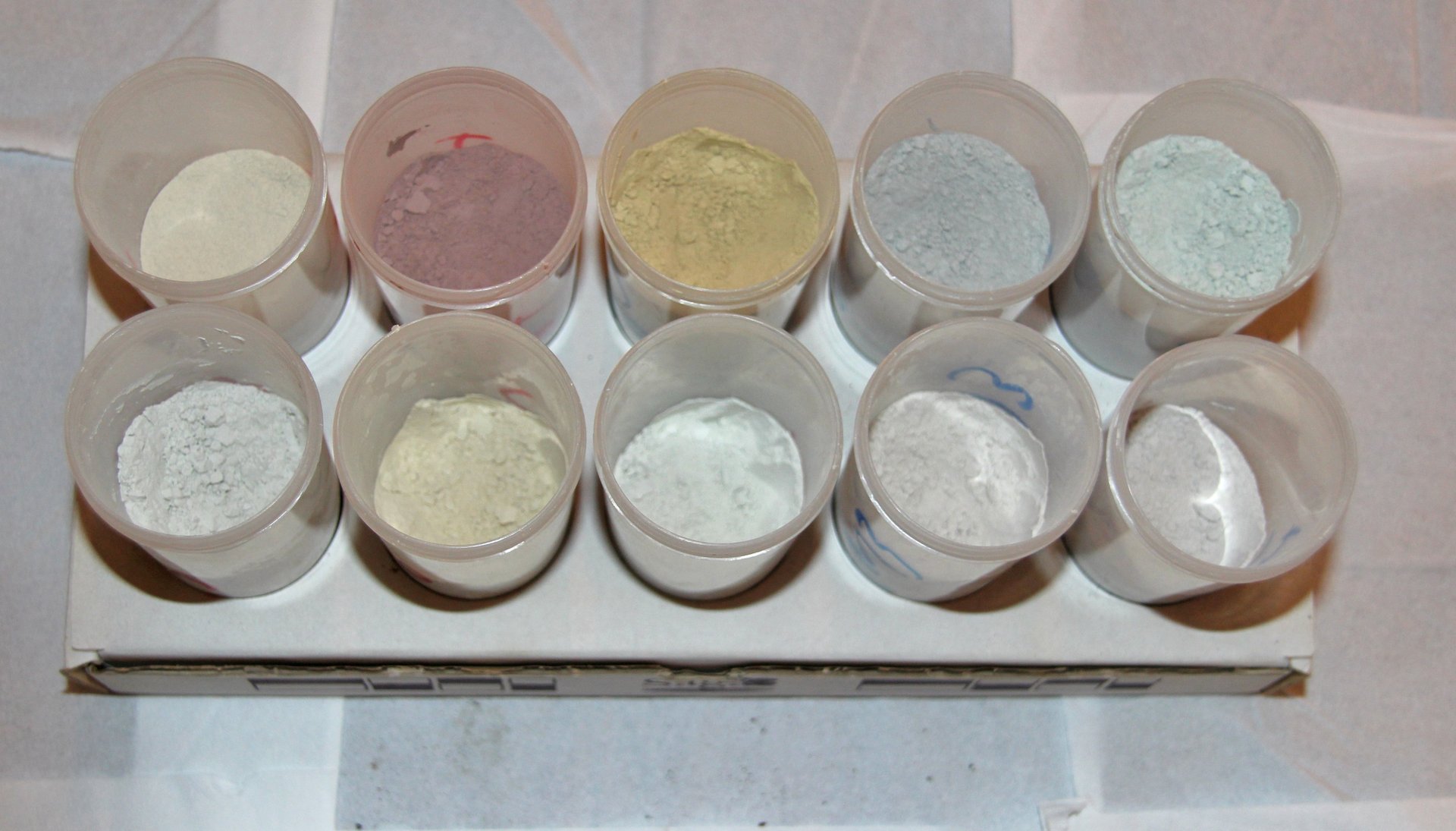
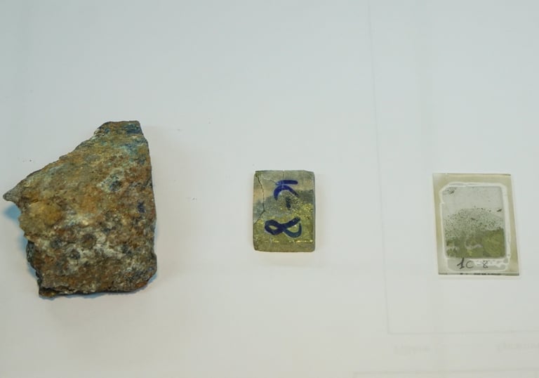
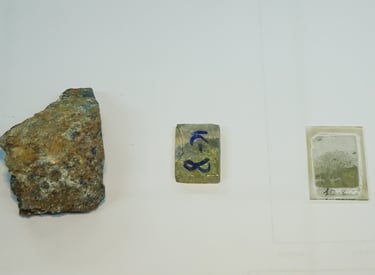
Études géologiques, minéralogiques et pétrographiques
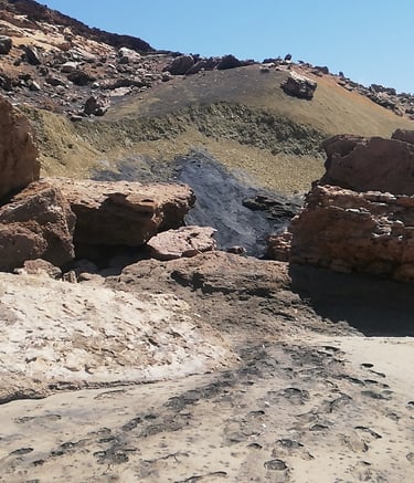
Cartographie et échantillonnage pour une analyse précise des ressources Minières sur le terrain.
Analyse et traitement des images satellites
Interprétation d'images satellitaires haute résolution pour optimiser la prospection et l'évaluation des sites miniers.
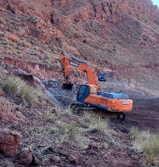
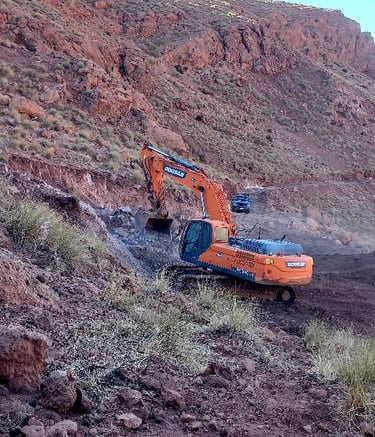
Projets miniers
Expertise en exploration minière et géologique pour nos clients.
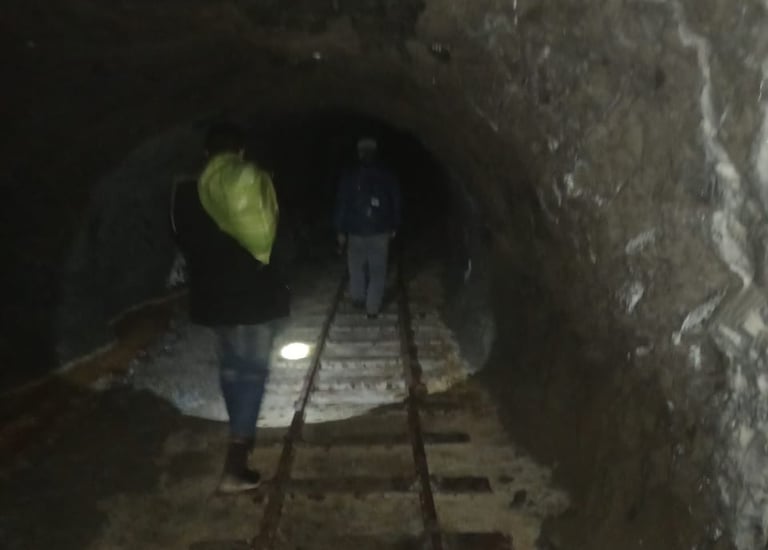
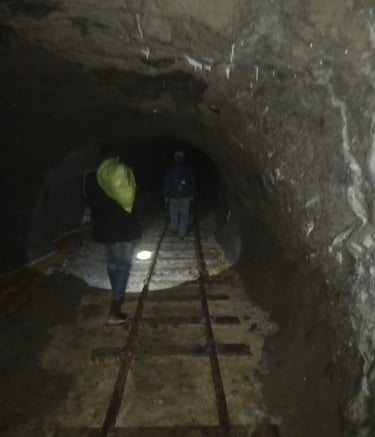
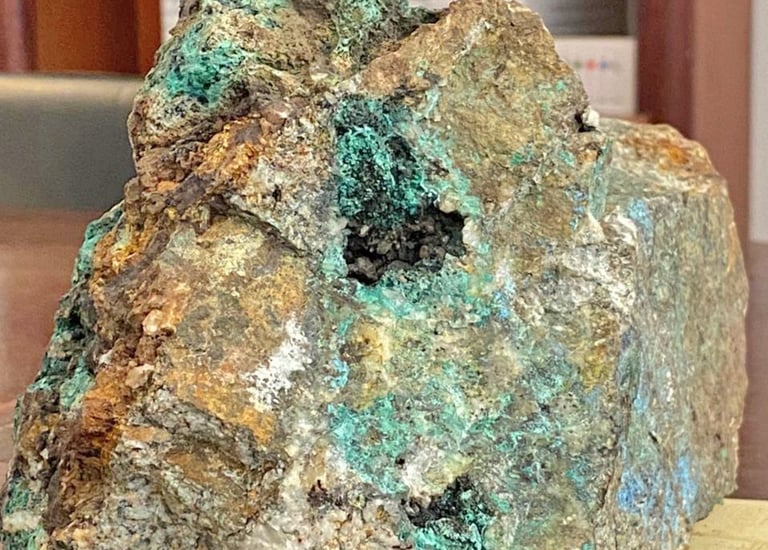
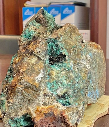
Mine de Cuivre d'Ihajjamen, Ourika. Société Comptoir Rimada.
Mine de Plomb-Zinc de Goundafa, Ijoukak. Société SOCOMIS.
Mine de Cuivre Argent de Timidart, Tinghir. Société EMTF.
Mine de Titane de Tantan, Société NSM CAPITAL.
Avis Clients
Découvrez les retours d'expérience de nos clients satisfaits.
Al Mokhtabar a transformé notre approche de l'exploration minière avec des analyses précises et des conseils stratégiques inestimables.
Société Exterra Mining Exploration
Casablanca
Leurs études géologiques et analyses d'images satellitaires ont été essentielles pour notre projet. Un service professionnel et réactif, je recommande vivement Al Mokhtabar.
Omar Lissaneddine, Société SOCOMIS et EMTF
Marrakech
★★★★★
★★★★★
Services
Études géologiques géophysiques, environnementales et analyses de ressources Minières.
Expertise
Contact
+212 662 731 722
+212 529 807 918
© 2025. All rights reserved.